Amos Kendall Conservation Area
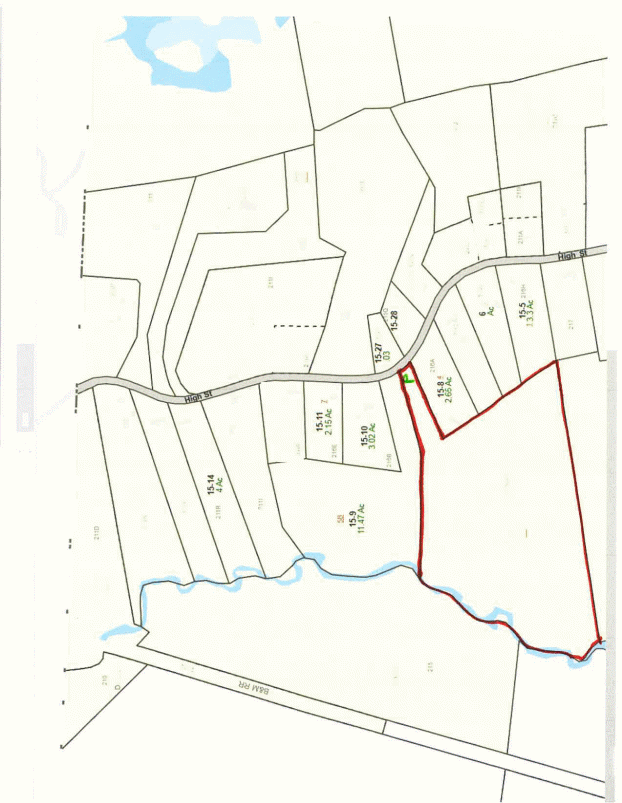
The Town of Dunstable purchased the Amos Kendall Conservation property for conservation and passive recreation purposes on May 5, 2006. The parcel was acquired with a state LAND grant and CPA funds. The parcel is located off High Street and lies along Salmon Brook, a canoeable stream running north through the middle of Dunstable and entering the Merrimack River in Nashua, N.H. It is the largest stream in Dunstable (other than the Nashua River along Dunstable’s western border).
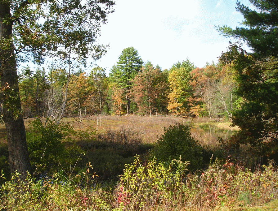
The parcel includes 124’ frontage on High Street, and about 900’ frontage on Salmon Brook. Habitat is diverse, and includes pine and oak forest, Salmon Brook meadow, a cranberry bog and a gravel pit (an excellent area for turtle nesting and raptors).
Amos Kendall lies within the Petapawag ACEC, is designated “Critical Natural Landscape” and “Core Habitat” along Salmon Brook. The parcel directly connects protected areas held by the Dunstable Conservation Commission and Dunstable Rural Land Trust.
Salmon Brook is the Town’s aquifer, supplying potable water to approximately 101 customers. The Massachusetts Division of Fisheries and Wildlife annually stocks Salmon Brook with brook trout.