Places and Activities
Here is a list of all the conservation properties you might like to visit in Dunstable. The trail maps accompanying some properties can be used with a smartphone to show your location or to get directions. For places that are protected but have little to no human recreational use, see the Protected Places page. Most places offer opportunities for photography, wildlife viewing, and observing forest flora. Please follow the Trail Use Guidelines when visiting these places.
-
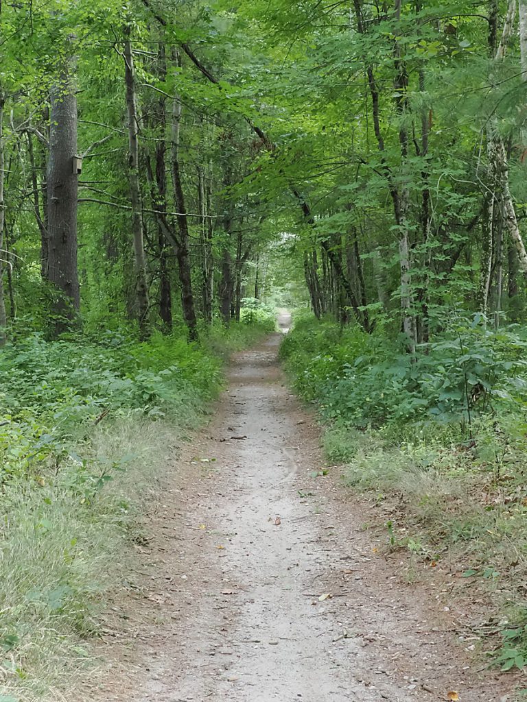
Alexander Estates Open Space
The Red Line rail bed trail from Larter Field to Lake Street runs through this open space area. This was once part of the…
-
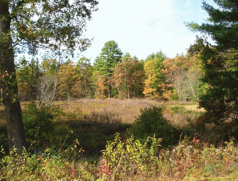
Amos Kendall Conservation Area
The Town of Dunstable purchased the Amos Kendall Conservation property for conservation and passive recreation purposes on May 5, 2006. The parcel was acquired…
-
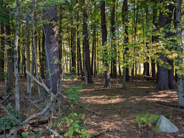
Bacon Conservation Area
The property was purchased from George W Bacon and Warren W. Bacon on December 20, 1968. The parcel borders Black Brook and the Town…
-
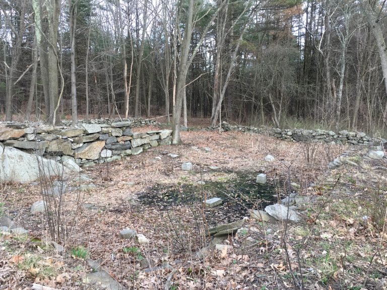
Best Property
The Town purchased five lots from the Best family on August 18, 2012. A requirement of using Community Preservation Act funds for the purchase…
-
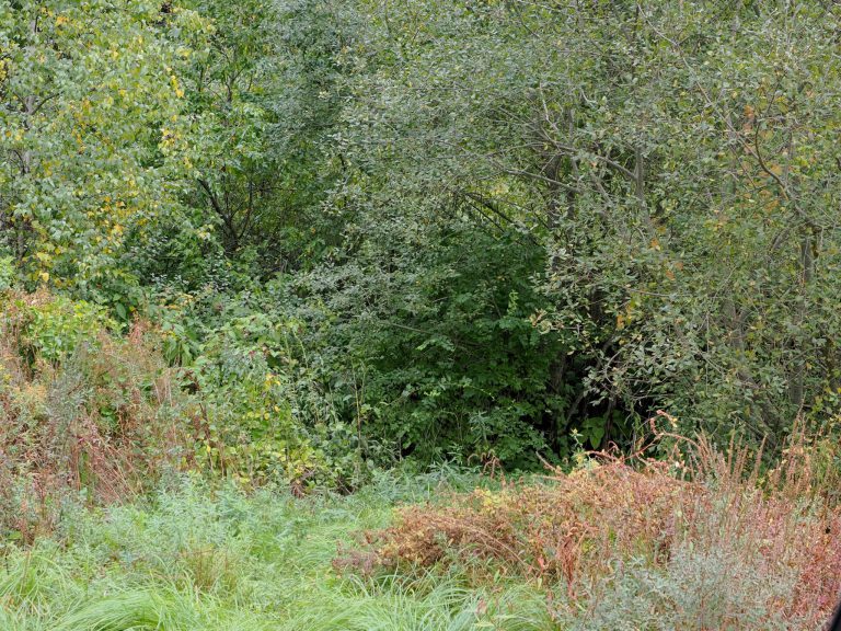
Blanchard Hill Conservation Area
The property connects the Flat Rock Hill Conservation area, Chaney Parcel, Flat Rock Hill Quarry, Joint Grass Brook Conservation area, Woods parcel, Kennedy Conservation…
-
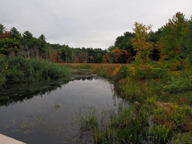
Drew Landing
Provides canoe and kayak access to Salmon Brook and is the primary access point for boating between Main Street and Stone Arch Bridge. For…
-
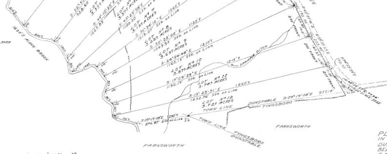
Farnsworth Wildlife Refuge
The two parcels that make up the Farnsworth Wildlife Refuge were donated in 1979 and 1985 by Sally N. Farnsworth. The 83-acre parcel was…
-
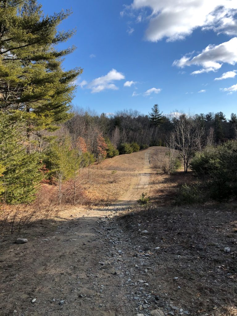
Flat Rock Hill Conservation Area
The Town of Dunstable purchased the Flat Rock Hill Conservation area in 2007 with state grant and CPA funds. The property, located in north…
-
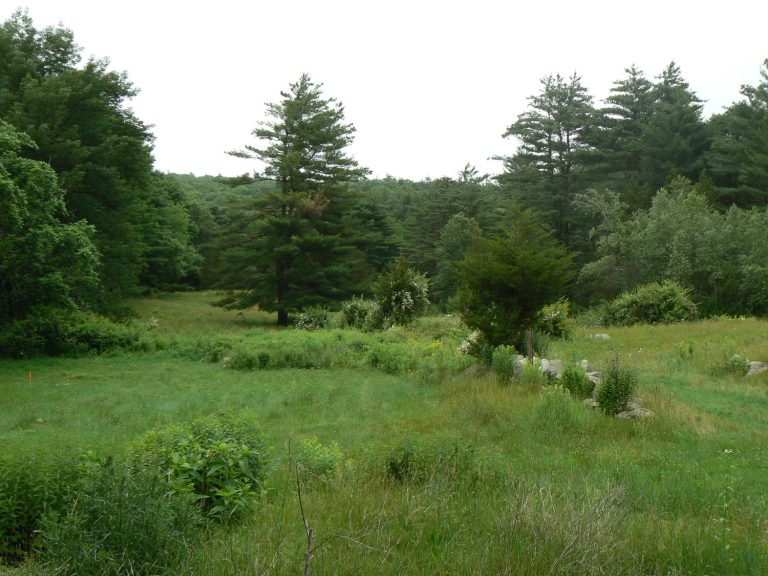
Howard’s Brook Conservation Land
The Conservation Commission purchased the Howard’s Brook Conservation Area in 2010 from the trustees of L & M Realty Trust. The property was dedicated…
-
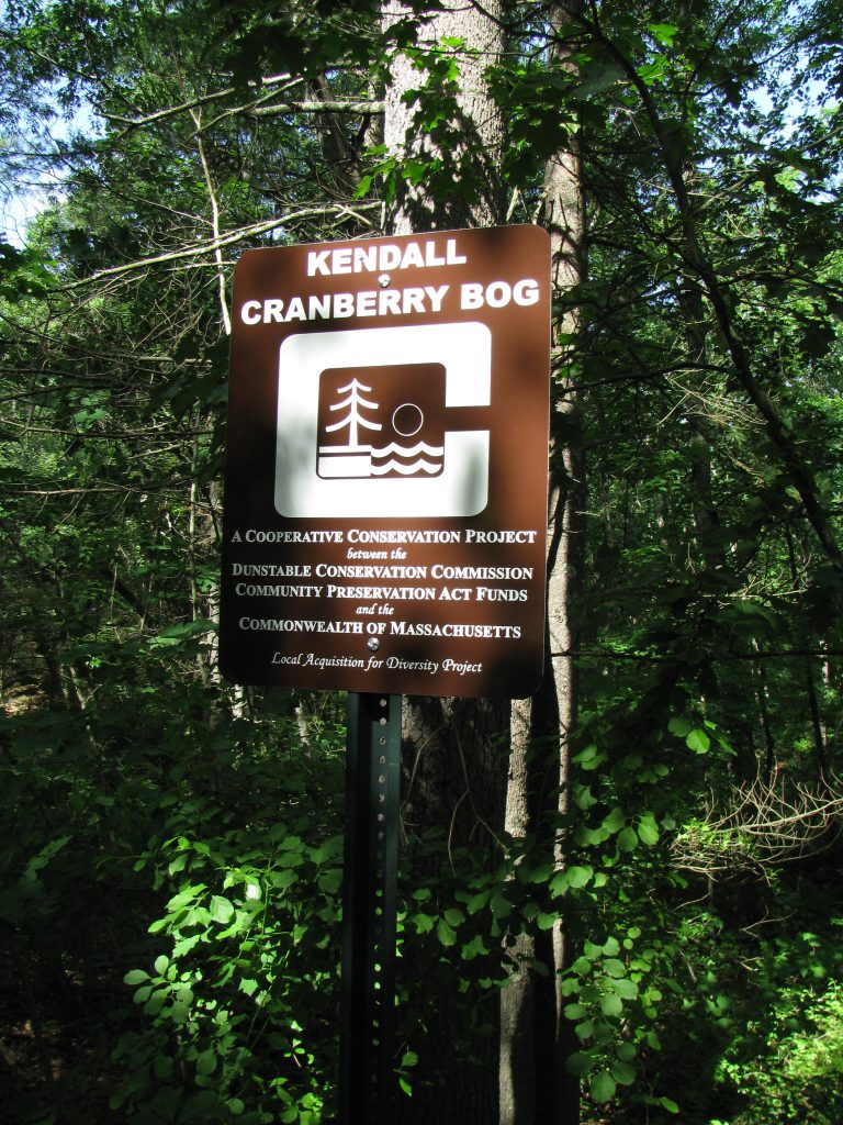
Kendall Cranberry Bog
The Town of Dunstable purchased the Kendall Cranberry Bog from Kathleen Henry for conservation and passive recreation purposes in 2018 with a state LAND…
-
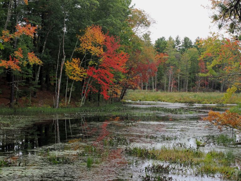
Kennedy Conservation Area
The Conservation Commission purchased the two parcels making up the 50 acres in 1978 from A. Donald Kennedy (a former Selectmen of Dunstable) and…
-
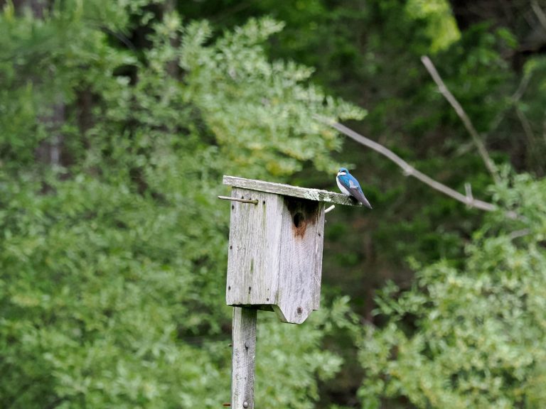
Main Street Wildlife Refuge (DRLT)
Trails are marked with the metal DRLT trail marker, 4” circle white background with green pine tree, hiker, kayak and fish. The color of…
-
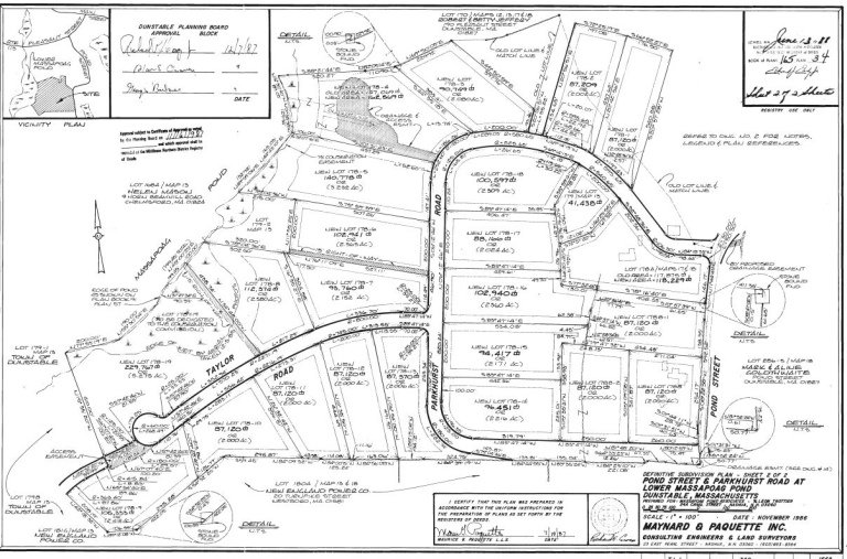
Parkhurst Street Lots
The Town of Dunstable received 5.275 acres in 1990 due to a Special Permit requirement under Section 6.6 Open Space Development for the Parkhurst…
-
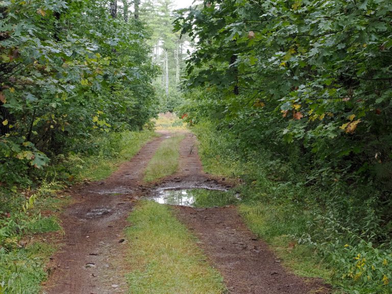
Pierce Town Forest
In 1929, the Town of Dunstable purchased, for three hundred dollars from the Estate of George W. Pierce, 131-acres now known as the George…
-
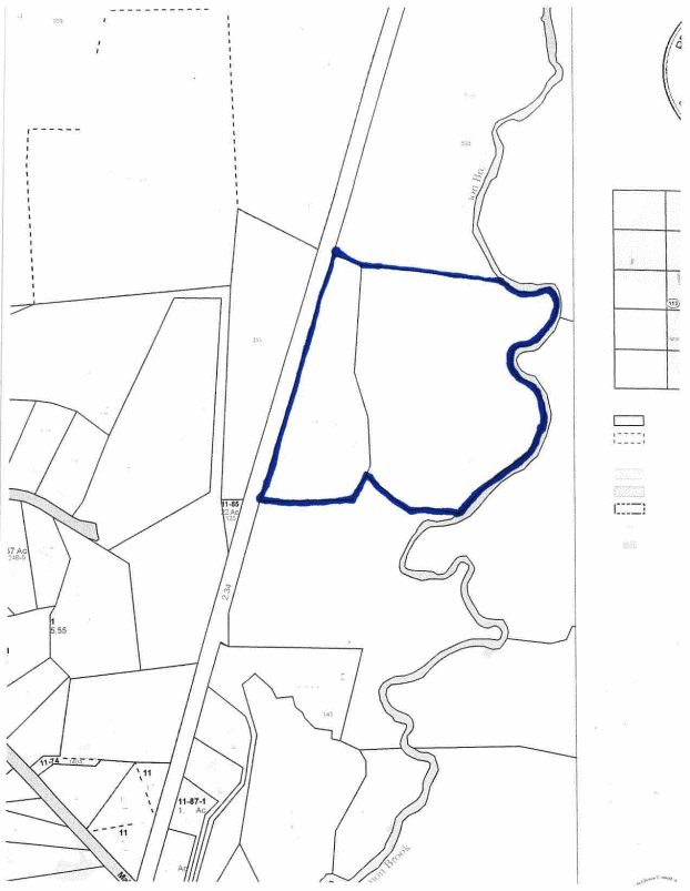
Proctor & Grater Lumber Lots
The 10-acre parcel previously known as Lot 119 abuts the old B&M railroad bed on the west side. The 20-acre lot, previously known as…
-
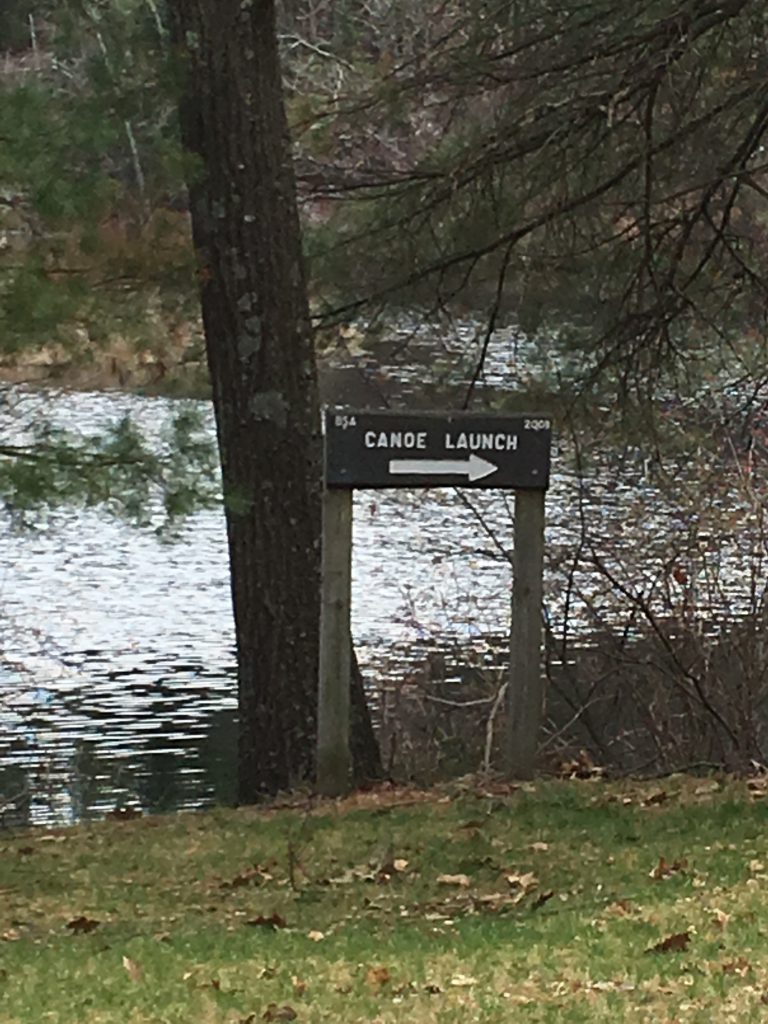
Shaw Conservation Area (Woodward’s Mill Pond)
Shaw Conservation Area was purchased in 1976 from Mary Shaw, whose husband James E. Shaw, was for many years Town Counsel. It contains about…
-
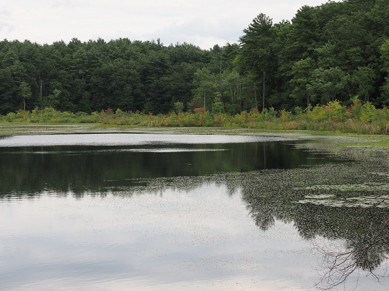
Spaulding-Proctor Reservation
Spaulding Proctor Reservation includes four parcels bordering the entire western shore of lower Massapoag Pond. The Roxbury Latin School donated all four parcels in…
-
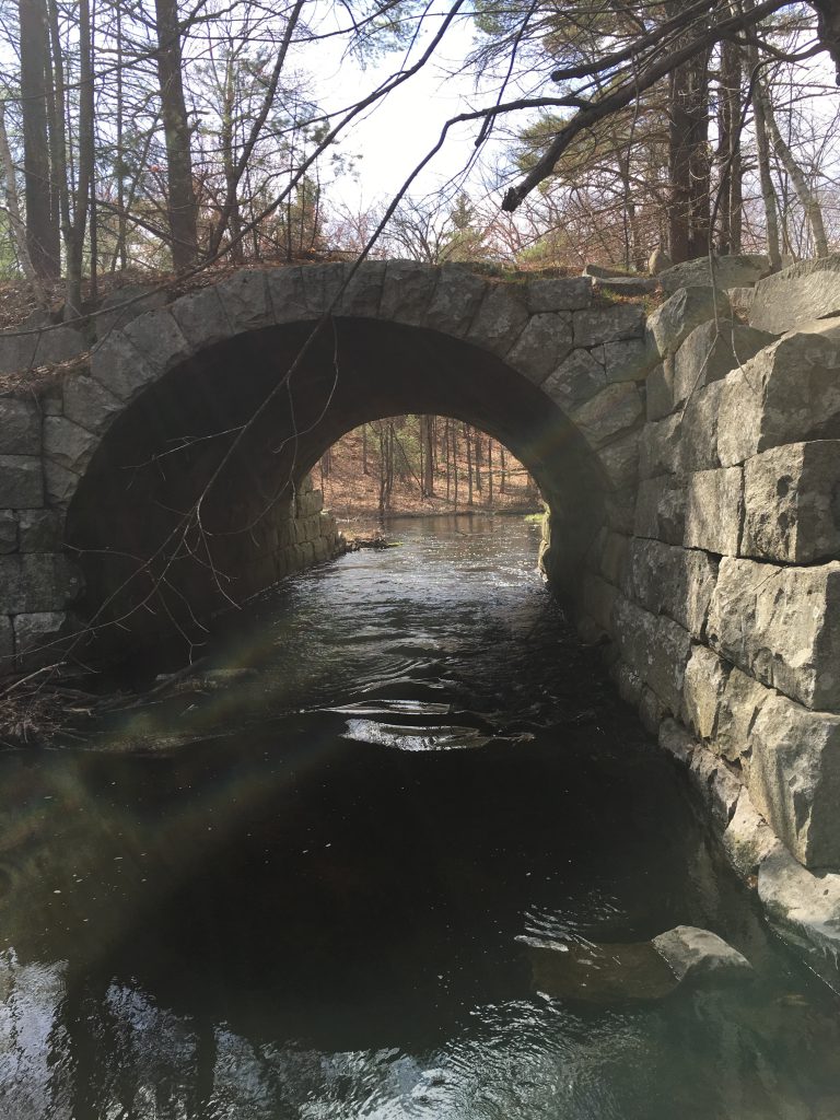
Stone Arch Bridge Conservation Area
This parcel was purchased and donated to the town by Edwin R. Biron for conservation purposes in 1981. The 12.24-acre parcel borders Nashua, New…
-
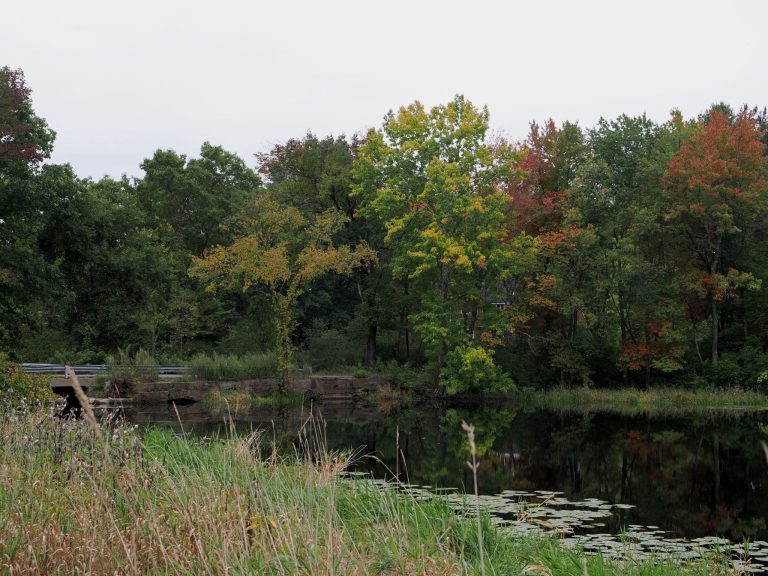
Swallow Mill Pond Conservation Area
There is a short trail to the pond.
-
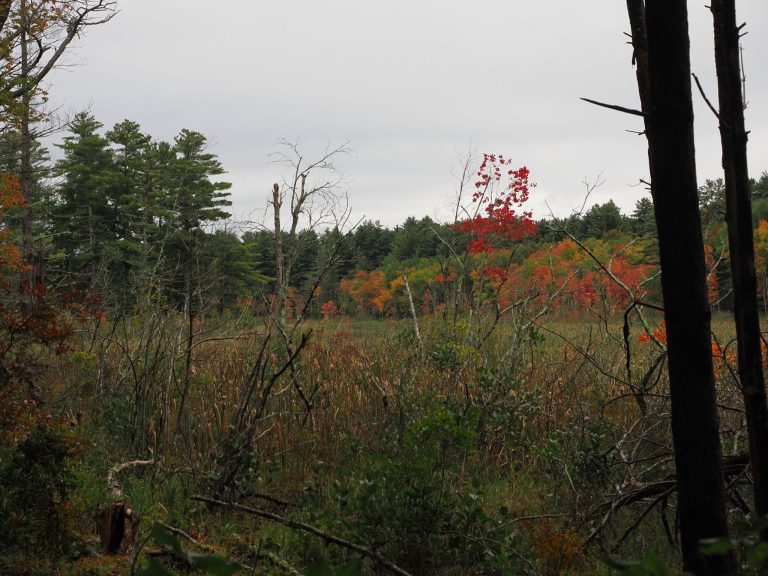
Unkety Brook Conservation Area
The Unkety Brook Conservation Area was conveyed to the Town of Dunstable by the builder of the Unkety Brook development as part of the…
-
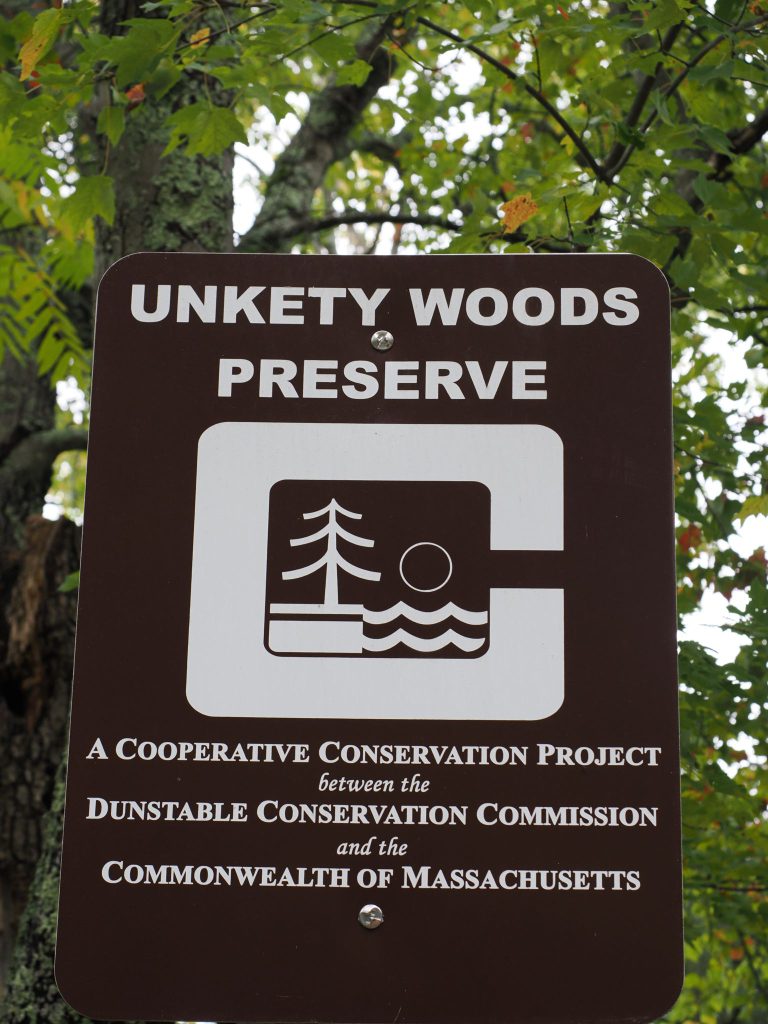
Unkety Woods Preserve
An active Christmans Tree Farm with well maintained wood roads and trails that occupies a little over half of the land area. The farm…