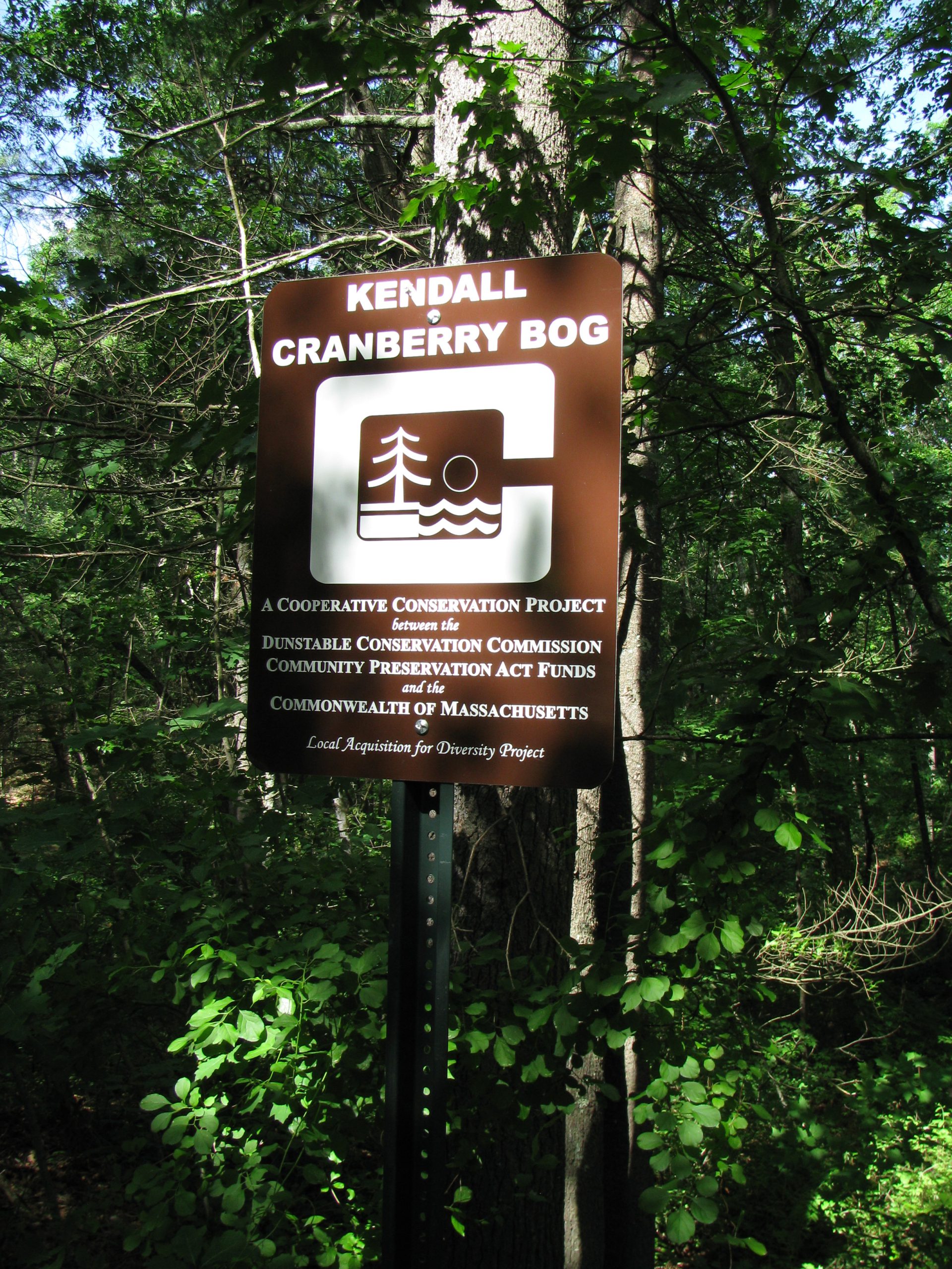
Kendall Cranberry Bog
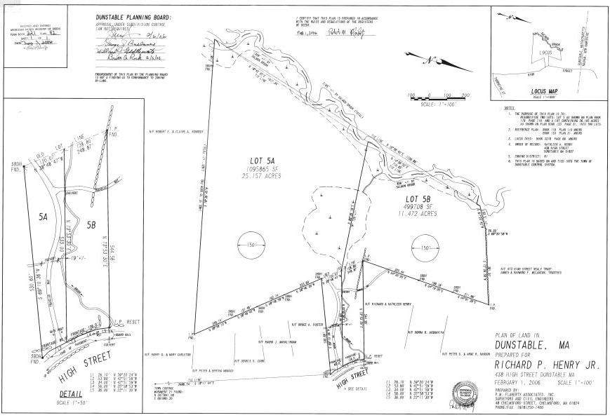
The Town of Dunstable purchased the Kendall Cranberry Bog from Kathleen Henry for conservation and passive recreation purposes in 2018 with a state LAND grant, timber money and CPA funds. The parcel, located off High Street, lies along Salmon Brook in north central Dunstable. To the south, it abuts the 25 acre Amos Kendall Conservation area. To the west it has 856’ of frontage on Salmon Brook; to the east it has 126’ of frontage on High Street. West of Salmon Brook lie 400+ acres of protected open space.
Salmon Brook is a warm water stream flowing north from Massapoag Pond and entering the Merrimack River in Nashua, NH. It is highly canoeable (must favored by Russ Cohen during his time with Mass Department of Fish and Game). From Main Street to the New Hampshire line, one sees no houses.
The property lies within the Aquatic Core Habitat as mapped in the BioMap 2 Report, has wetland core habitat, Prime 2 Forest soils of statewide importance for farmland and Prime 3 forest and unique importance.
The Salmon Brook Corridor is valued as a water resource (Town’s aquifer), as a scenic feature of the town and as a wildlife habitat. Mass Fish and Wildlife annually stock the stream with trout. Bird species include kingfisher, wood duck, black duck, bank swallow, great blue heron and an occasional American bittern. The entire Kendall Cranberry Bog is in the New England Cottontail Focal Area.